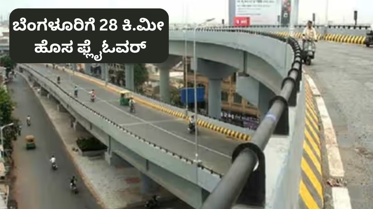
Bengaluru plans a 28-km elevated corridor connecting Yeshwanthpur to KR Puram via key locations including IISc, Mekhri Circle, Jayamahal and Halasuru Lake. The toll-based project aims to cut travel time from around 90 minutes to 28-30 minutes.
Bengaluru could soon get relief from its notorious traffic congestion, with a massive 28-kilometre elevated corridor planned to connect Tumkur Road with Old Madras Road. The proposed toll-based flyover, being planned by Bengaluru Smart Infrastructure Limited (B-SMILE), is aimed at providing a faster alternative through the city and reducing congestion on key roads, junctions and existing routes. The project is expected to offer motorists a quicker way to travel across the city while allowing those who do not wish to pay the toll to continue using the existing road network.
The project will be developed under a Public-Private Partnership (PPP) using the Build, Own, Operate and Transfer (BOOT) model. The estimated cost of the project is around ₹3,500 crore. The state government will fund 40% of the project, while the private contractor will bear the remaining 60%.
Once the elevated corridor is completed, the contractor will be allowed to collect tolls from users for 30 years to recover the investment. B-SMILE Director Prahlad told the media that the government will decide the exact toll rates for different categories of vehicles.
Related Articles

The project has an ambitious completion target of 30 months. The four-lane elevated corridor will begin near the Yeshwanthpur Flyover and feature 12 entry and exit points along the route, allowing motorists to enter and leave the corridor at multiple locations. The road is being designed for a maximum speed of 60 to 80 km/h.
The corridor is expected to help vehicles move more efficiently through central Bengaluru by bypassing several congested junctions and traffic signals. B-SMILE officials have said the project could significantly reduce traffic congestion. Motorists who do not wish to pay the toll will continue to have access to the existing roads.
Travel Time To Drop From 90 To 28 Minutes
At present, it takes around 90 minutes to travel from the Yeshwanthpur Flyover on Tumkur Road to the Flower Market near the KR Puram signal. Motorists either have to pass through the city centre or use the congested Ring Road.
The proposed elevated corridor will provide a largely uninterrupted alternative route, potentially reducing the journey time to around 28 to 30 minutes.
The Flyover’s Route
The 28-kilometre corridor will begin at the Yeshwanthpur Flyover Circle and pass through several key locations, including IISc, Mekhri Circle, Jayamahal, St John’s Church Road and Halasuru Lake.
From there, it will connect to Old Madras Road and continue towards KR Puram, ending after the KR Puram signal.
With multiple entry and exit points planned along the route, the elevated corridor is expected to provide greater flexibility for motorists travelling between different parts of Bengaluru. If implemented as proposed, the project could become another major infrastructure intervention aimed at tackling the city’s persistent traffic congestion.