
The Himachal Pradesh government is developing a 'Model Panchayat' concept. This will allow local bodies to create their own development and construction plans based on specific geographical and disaster risks to prevent unplanned construction.
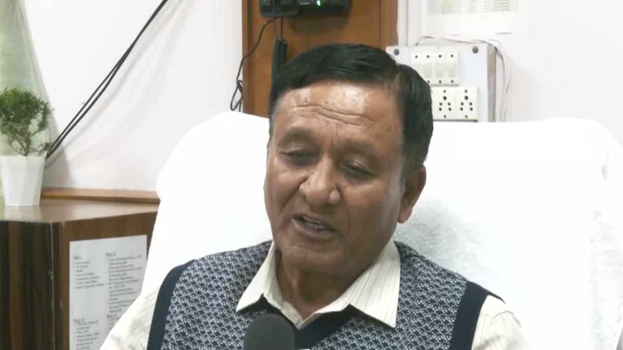
The Himachal Pradesh government is working on a framework under which panchayats could prepare separate development and construction plans based on their local geographical and disaster risks, Revenue, Horticulture and Tribal Development Minister and Kinnaur MLA Jagat Singh Negi said on Saturday.
The proposed Model Panchayat concept is aimed at preventing unplanned construction near rivers, streams and natural drainage channels while allowing local bodies to frame development rules according to the specific risks of their areas.
Model Panchayat Concept Proposed
Negi said a Cabinet sub-committee examining unplanned construction near rivers and drainage channels had held several meetings and submitted recommendations to the government. Speaking to ANI in Shimla, he said the proposed framework would allow individual panchayats to develop their own Standard Operating Procedures (SOPs) based on local geographical, environmental and disaster-related conditions.
"The panchayat should decide how dangerous its particular drain or stream is, how far houses should be constructed from it and how far a settlement should be from a river," he said.
Negi said the danger posed by a river, stream or drainage channel can vary considerably from one location to another. Under the proposed approach, local bodies could determine appropriate construction distances after assessing factors such as the size, depth, flow and potential danger level of local water channels.
"This could be 50 metres or 100 metres depending on the area," he said.
The proposed Model Panchayat framework would therefore move away from a one-size-fits-all approach and allow development planning to reflect local geographical conditions. Negi said the objective was to prevent settlements from expanding into natural drainage channels and other areas vulnerable to flash floods.
He said larger buildings in rural areas would continue to be governed by the applicable Town and Country Planning (TCP) norms. Buildings measuring more than 500 square yards, in particular, would have to comply with the relevant TCP regulations, he said.
Adapting to Natural Hazards
Negi said construction practices in Himachal Pradesh also needed to change in view of the state's vulnerability to earthquakes, flash floods, cloudbursts and landslides. He said buildings should not only comply with construction regulations but also be located away from areas exposed to natural hazards.
"Our traditional method of construction now needs to change. Himachal Pradesh is also in an earthquake-prone zone, so we need to adopt earthquake-proof construction technology," he said. He said future construction planning should simultaneously take into account seismic vulnerability and the increasing threat of flash floods and extreme weather events.
Negi stressed that people should not knowingly construct houses and other structures close to rivers, streams and natural drainage channels. The push for disaster-resilient local planning comes amid a heavy monsoon season in Himachal Pradesh, which has already claimed 249 lives between June 30 and August 28, according to official State Emergency Operations Centre (SEOC) data.
Of the total, 103 deaths were caused by monsoon-related incidents and hazards, while 146 people were killed in road accidents during the same period. The state has also reported 32 people missing and 297 injured during the period. The figures underline the multiple risks facing the hill state, where flash floods, cloudbursts, landslides and other weather-related incidents have repeatedly affected settlements and infrastructure.
Integrating Local Planning with Disaster Management
Negi said the repeated occurrence of such disasters made it necessary to integrate disaster-risk considerations into development planning at the local level. The proposed Model Panchayat framework is intended to give local bodies a structured mechanism to regulate construction and prepare development plans according to their own geographical conditions.
Negi said a stream that may pose limited risk in one panchayat could be significantly more dangerous in another because of differences in terrain, water flow, catchment characteristics and settlement patterns. He further said local planning should therefore identify vulnerable areas before new settlements and infrastructure are permitted.
He said the government was examining ways to ensure that development does not obstruct natural drainage channels or expose residents to avoidable risks. The approach would also require coordination between panchayats, district administrations and departments responsible for town planning, disaster management and public works.
Negi said future development policy should focus not only on responding to disasters but also on preventing people from settling in areas where the consequences of a flood or landslide could be catastrophic. "First of all, we will have to take a decision for the future that people should not be allowed to create habitation in rivers and drainage channels," he said.
He said stronger enforcement, better construction practices and localised planning could reduce the scale of losses during extreme weather events. The minister's remarks come as Himachal Pradesh continues to strengthen disaster preparedness amid growing concerns over flash floods, cloudbursts, landslides and glacial lake outburst floods in the Himalayan region.
He said development planning at the panchayat level must therefore be linked to the state's broader disaster-management strategy so that future construction does not create additional vulnerability. (ANI)
(Except for the headline, this story has not been edited by Asianet Newsable English staff and is published from a syndicated feed.)