
As soon as a disaster occurs, satellites are programmed to acquire images of the affected areas quickly. More than 60 satellites, optical or radar, can be mobilised at any given time.
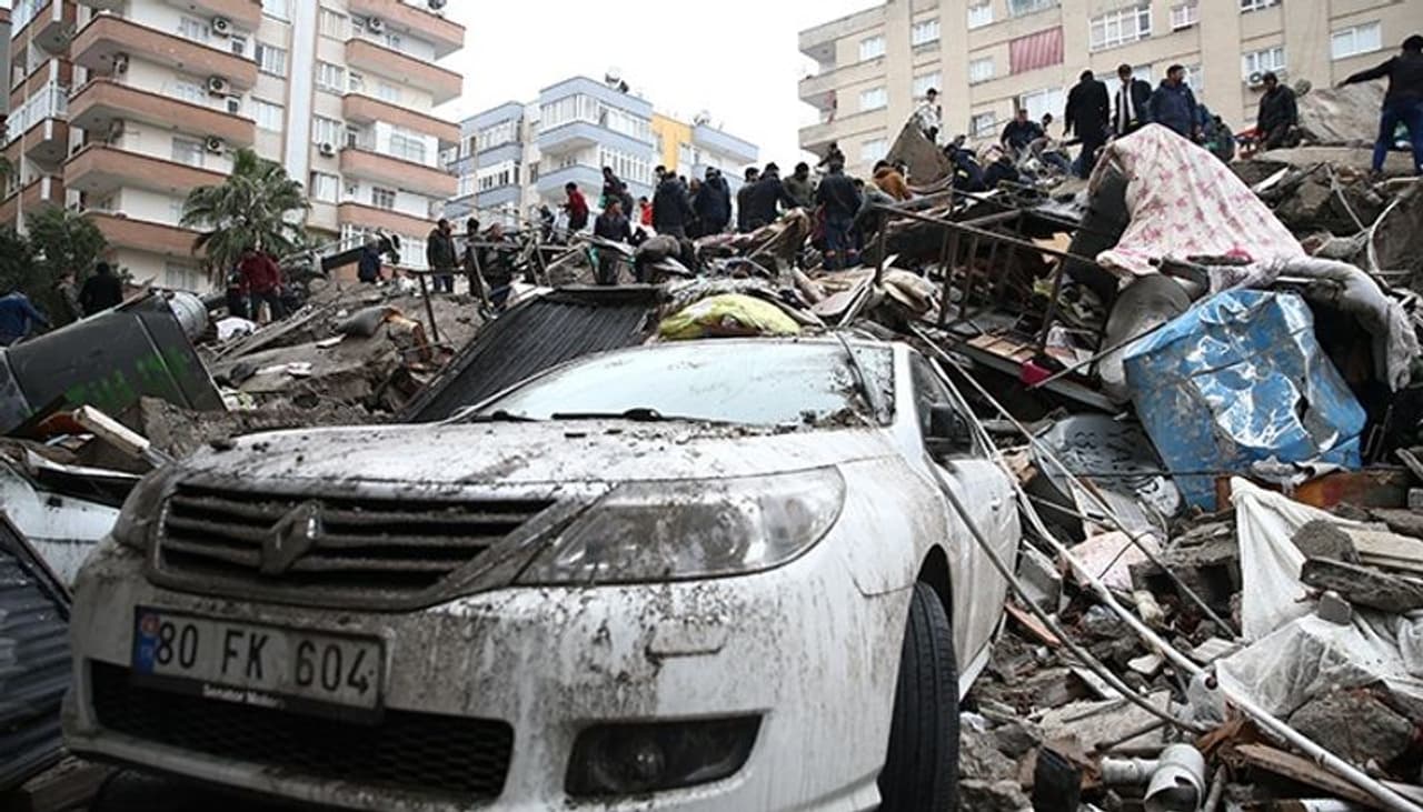
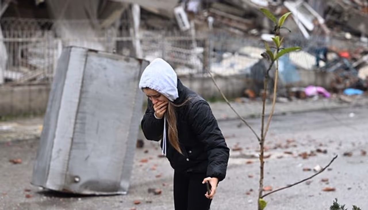
International collaboration on satellite imaging plays a significant role in the rescue and recovery efforts in disasters like the 7.8-magnitude earthquake and 7.5-magnitude aftershock that rocked Syria and Turkey on Monday.
By assessing the status of roads, bridges, and buildings and, most importantly, identifying populations trying to escape future aftershocks by congregating in stadiums or other open places, such data enable humanitarian relief to provide more water and food effectively.
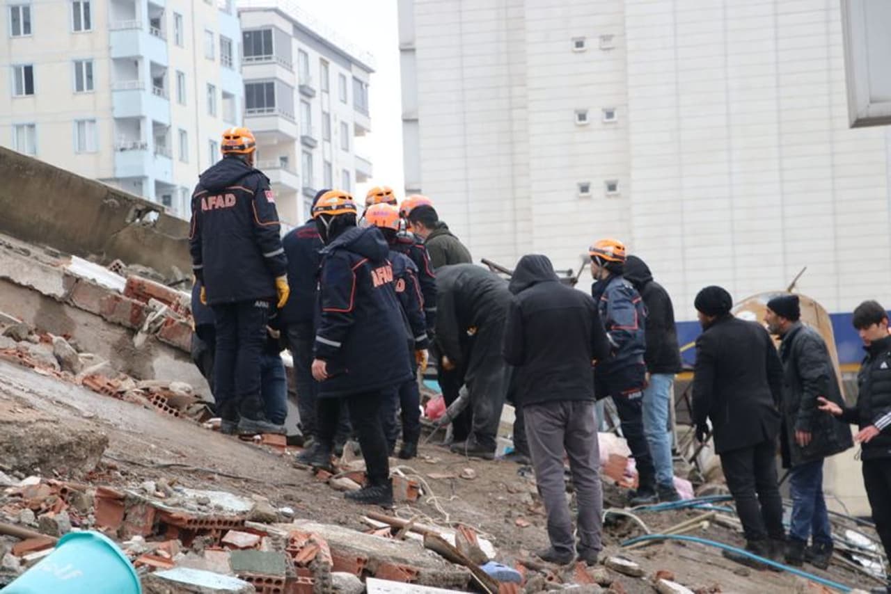
The Turkish Disaster and Emergency Management Authority (AFAD) requested the activation of the international charter on Space and Major Disasters at 7:04 a.m. local time to immediately direct satellite eyes toward the impacted areas. At 11:29 local time, the United Nations did so for Syria.
In the meantime, 11 space agencies got ready to operate the most appropriate optical and radar satellites.
As they pass over the region, these optical satellites Spot, Pleiades, and Pleiades Neo (medium, high, and very high resolution) will give France the first photographs. Radar satellites will supplement the optical data since they can detect landslides and even minute changes in height. They also function at night and through clouds.
Every year, millions of people worldwide are affected by natural disasters (cyclones, tornadoes, typhoons, earthquakes, landslides, volcanic eruptions, tsunamis, floods, forest fires, etc.) or man-made disasters(oil pollution, industrial explosions, and more).
Unfortunately, due to climate change, these disasters are occurring more frequently and with greater intensity, leading to an increase in casualties, destroyed dwellings, and devasted landscapes.
Anatomy of a disaster
According to the worldwide charter on space and major disasters, a catastrophe is a large-scale, unexpected, one-of-a-kind, uncontrolled event that causes death or property damage and requires immediate action to gather and transmit data.
The European Space Agency was founded in 1999 by the National Space Research Centre, and the Canadian Space Agency shortly followed.
Today, 17 member space agencies have joined forces to provide free satellite imagery as quickly as possible over the disaster area. Since 2000, the charter has been activated 797 times in more than 154 countries.
Since then, similar programmes from Asia (Copernicus Emergency) and Europe have been added (Sentinel Asia). Storms, hurricanes, and especially floods, which account for half of the activations, are to blame for about three-quarters of the charter's activations.
Land-based resources can only occasionally assess the severity of the crisis and best organise relief and humanitarian supplies in these sometimes unanticipated crises when the ground is destroyed or flooded and roads are impassable.
Satellites quickly deliver vital information by taking high-resolution pictures of the environment from space. The charter may only sometimes be able to be activated. This could be because the topic (wars and armed conflicts) is outside the purview of the charter, space imagery is occasionally of limited interest (in the case of heat waves and epidemics), or the phenomenon evolves slowly and over a lengthy period (droughts).
Satellite data in response to crises around the world
Satellites are set up to immediately capture photographs of the disaster-affected areas as soon as it occurs. It is possible to deploy more than 60 optical or radar satellites simultaneously. According to established crisis preparations, many satellites, including TerraSAR-X/Tandem-X, QuickBird-2, Radarsat, Landsat-7/8, SPOT, Pleiades, and Sentinel-2, will be mobilised depending on the type of disaster.
While radar images can be more difficult for amateurs to decipher than optical images, they are comparable to images taken from space. As a result, satellite data is revised after the catastrophe to make it clearer.
The photos, for instance, can be used to create impact or change maps for rescue personnel, flood alert maps for the general public, or mapping of burned or flooded areas with damage estimates for decision-makers.
Field users and satellite operators must work together effectively. The development of digital tools that can employ a few satellite and in-situ data has also contributed to the advancement of Earth observation technology, particularly the performance of optical resolutions from 50 to 20 metres and now 30 centimetres, and 3D data processing software.
The demands of the industry have also influenced how the charter's intervention processes have evolved in terms of turnaround time and product quality.
Reconstruction after disasters
While emergency management is crucial, it is also crucial that all affected nations think about reconstruction and the future. The risk cycle postulates that risk mitigation, risk adaptation, and reconstruction are all essential in restoring normalcy.
Disasters cannot be predicted, but they can be better prepared for, particularly in nations where they frequently occur. For instance, earthquake-resistant building design, creating secure meeting spaces, or relocating living quarters could benefit locals.
Also read: Dutch expert 'predicted' Turkey earthquake 3 days ago!
Another essential skill is survival knowledge. Following severe disasters, several efforts known as rebuilding observatories have been implemented; two examples are Haiti in 2021 and Beirut following the 2019 port explosion.
It is intended to coordinate satellite images to enable a detailed and dynamic assessment of damage to buildings, roads, farms, forests, and other structures in the most affected areas, to monitor reconstruction planning, to lower risks, and to monitor changes over a three- to four-year time horizon.
(With inputs from PTI)
