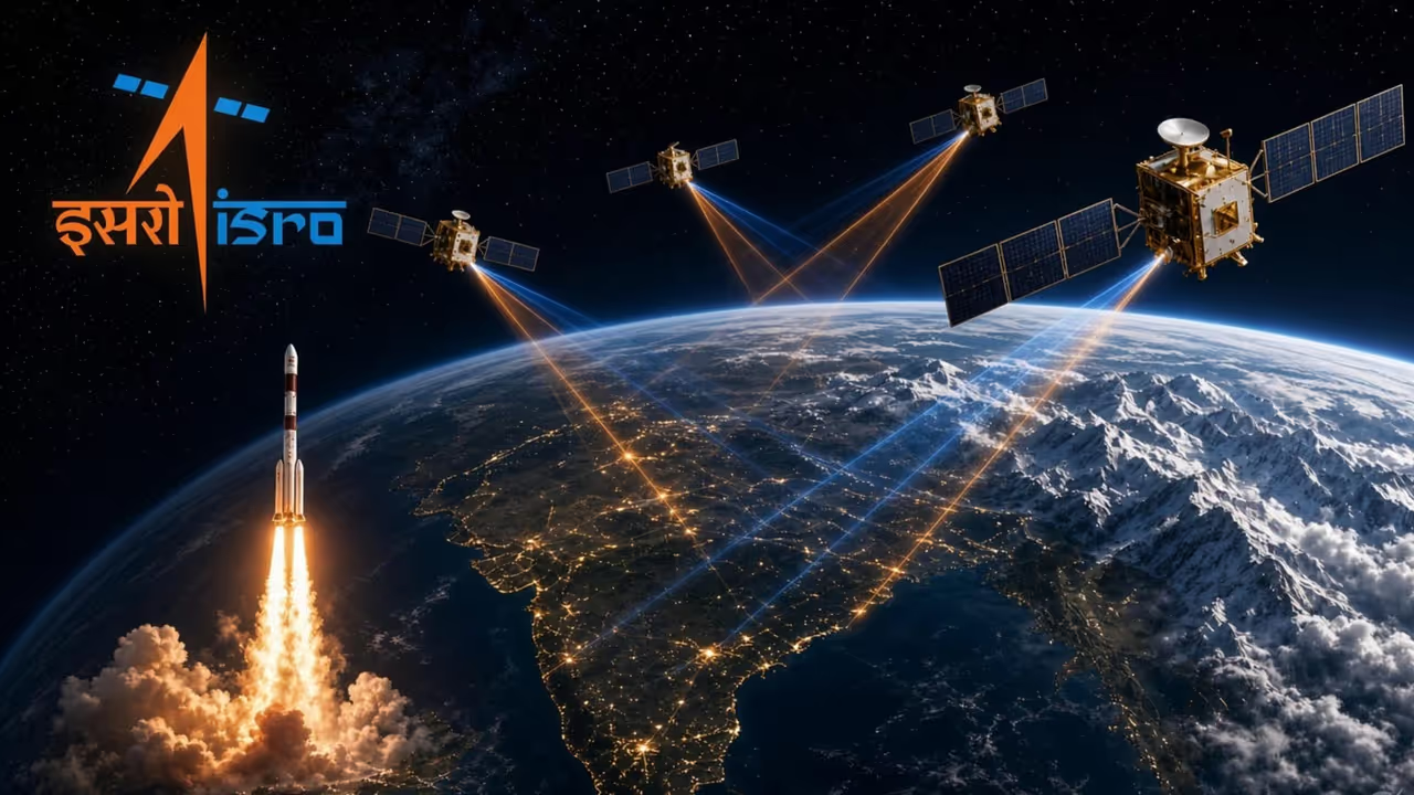
India is preparing to launch the NVS-03 satellite between October 15 and 20 to restore its independent NavIC regional navigation network. Following the failure of NVS-02, this crucial mission aims to provide the fourth satellite required for accurate three-dimensional positioning.
Between 15 and 20 October, a GSLV is expected to lift NVS-03 from Sriharikota. That single spacecraft is not another routine payload. It is the missing piece that can bring NavIC, India’s own regional navigation network, back to independent life. With only three working satellites in the sky today, the constellation cannot give a full three-dimensional fix on its own. Timing still works. Standalone positioning does not.
Modern weapons and movements run on an invisible thread called Position, Navigation and Timing. A missile that must travel hundreds of kilometres, a bomb meant to strike one roof and spare the next, a warship holding station far from the coast, or a fighter climbing through cloud — each needs to know exactly where it is and what time it is. If that certainty is borrowed from another country’s satellites, it can be blurred, rationed or switched off when a crisis arrives. That is why India built NavIC, once called IRNSS. It offers an open civilian signal and an encrypted Restricted Service for authorised users. Its intended reach is the homeland and about 1,500 kilometres beyond.
The mathematics of that service is simple and unforgiving. Each satellite shouts its own location and the exact instant of the shout. A receiver on the ground measures how long the radio wave took to arrive and turns that delay into distance. Light is so fast that a tiny clock error in the receiver becomes a large error on the map. The receiver therefore has four unknowns to solve at once: north-south, east-west, height, and its own clock drift. Four unknowns need four independent voices. Three satellites can still help if height is guessed — sea level, a known ridge, a stored map. On a mountain pass or in a climbing cockpit that guess can be fatally wrong. The fourth satellite turns an estimate into a trustworthy fix.
Related Articles

The last time India placed a navigation satellite successfully was 29 May 2023, when NVS-01 reached orbit. Hope rose again on 29 January 2025 with NVS-02. The rocket did its job. The satellite never reached its intended slot. A pyro valve — a one-shot tap opened by a tiny controlled charge on an electrical command — did not fire. The engine never received the signal that would have let oxidiser flow. Without that burn, orbit-raising could not begin. Engineers later traced the silence to a loose contact in both the main and backup paths. A small connector, not a grand design, had stolen the mission.
ISRO has never treated a setback as an ending. Union Minister of State for Space Jitendra Singh told the Lok Sabha in July that NVS-03 was ready and that NVS-04 and NVS-05 were already well advanced. The October window is the first chance to restore the minimum of four working satellites. When that quorum returns, the forces will again have a fully Indian fallback they can trust for missile guidance, exact location, fleet coordination at sea, and navigation for troops and aircraft. They are not flying blind today; GPS and other foreign networks still work beside the limited NavIC signal that remains. What they lack is a system no outsider can mute.
The memory that drives this work is older than any valve. In the summer of 1999, soldiers fought up the frozen ridges of Kargil and discovered that the navigation they used belonged to someone else. Help that can be withdrawn is not help a nation can plan a war upon. That lesson built NavIC. The same lesson now waits on NVS-03.
When the rocket leaves the pad it will carry more than metal and clocks. It will carry the stubbornness of teams who refused to let one failed tap define the programme, and the quiet demand of a country that will not again place its aim, its ships and its sons at the mercy of a switch in another capital. Once four Indian voices speak together in the sky, no foreign hand can dim, delay or deny the map on which this land must move.
(Girish Linganna is an award-winning science communicator and a Defence, Aerospace & Geopolitical Analyst. He is the Managing Director of ADD Engineering Components India Pvt. Ltd., a subsidiary of ADD Engineering GmbH, Germany.)