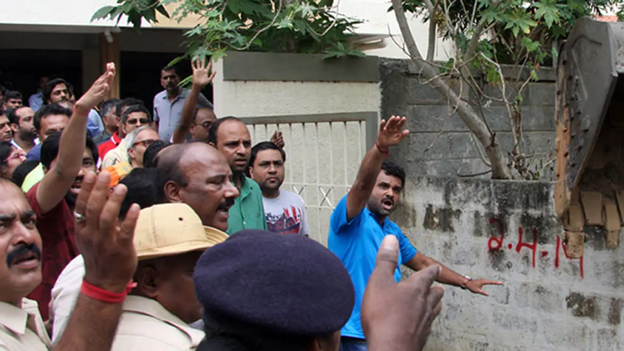
Residents of Bengaluru, currently in a mood of panic as the BBMP restarts its aggressive encroachment clearance drive, have alleged that the BBMP is going about the process with out-dated information.

The residents argue that the map the BBMP is using to identify 'illegal encroachments' is a city map drawn up in 1908 by the British Raj. The BBMP has also not denied these allegations outright.
BBMP officials have stated that they have no other map to identify what was originally stormwater drains, tanks and lakes. The officials also stress the fact that, either way, it still indicates houses and buildings arisen on water bodies, blocking the smooth drainage of water from the city.
However, residents whose houses may be in such water bodies or drains, argue that the old map is not only out-dated but also a willful denial of ground realities.
The city, they say, was a small town a century ago with a population of around 5 lakh. Today Bengaluru has transformed into a massive metropolis with a population of a crore.
Many residents feel it is unfair to demolish their houses over old water bodies present on an ancient map, but which in fact have not existed for decades now.
There is also the fact that many of these drains and water bodies dried up long before homes were built, giving no indication to the homeowners that they may be building on water drainage areas.
For now, the BBMP has not accepted these arguments, and continues running its survey for the next round of demolitions.
