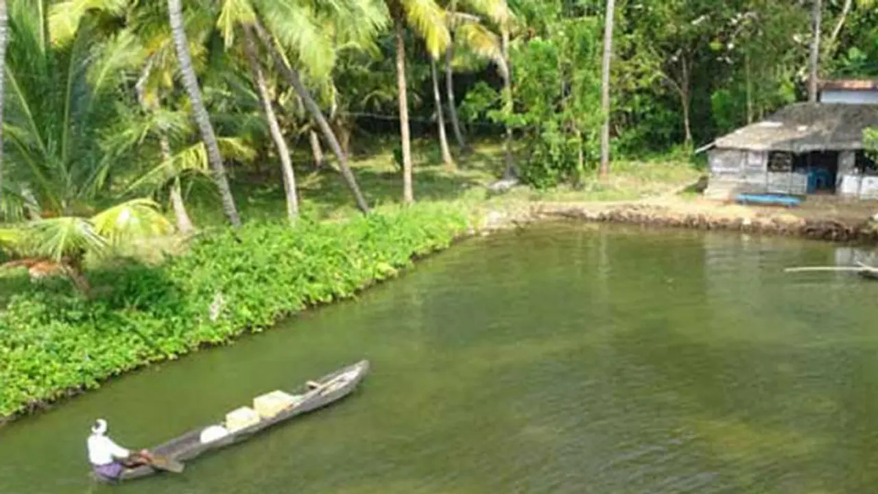
The islands which were spread over 1, 340 square kilometres is now reduced to approximately 352 square kilometres Construction of Kallada dam, Tsunami and global warming are considered responsible for the change After the construction of Kallada dam, silt accumulation in the isles have dropped by more than 95%
Munroe Islands, the tiny islands which are among the major tourist attractions in Kerala are sinking due to soil erosion and rising sea-level. The sinking Isles, as it is known now, are seeking assistance from global conservation organisations to deal with the recent swell in water level.

The bucolic isles, popularly known as Munroe Thuruthu, gained global attention after a paper presented by K N Balagopal, former Rajya Sabha Member and Communist Party of India - Marxist (CPM) district unit secretary, on the pathetic condition of the area, at the global environment meet, 2016, held in Bangkok.
This cluster of eight islands at the confluence of Ashtamudi lake and Kallada River is sinking for over a decade. Some blame rising sea level owing to Tsunami and climate change while others say that construction of Kallada dam too played a role.
Earlier studies have proved that silt accumulation in the Isles has dropped by more than 95% owing to the construction of the dam. Delta destabilisation due to the destruction of mangroves and continuous vibration caused by trains that pass through the islands are other reasons cited by former studies. The islands are the delta of Ashtamudi lake and are more prone to the threats of global warming.
The rising sea level has ensured that the islands which were spread over 1, 340 square kilometres is now reduced to approximately 352 square kilometres. The most affected are Pattamthuruthu, Kandramkani, Kidapram and Nenmeni areas.
Area - 13. 4 sq Km
Population - 9599
Low-lying areas in the island submerge during high tides making life impossible here. More than 200 families have left the Isle in past five years. The intrusion of saline water, drainage problems, reduced availability of drinking water and flooded houses are major concerns.
The Isles are named after Colonel John Munroe, after his constant efforts to reclaim the land in the delta. In the course of time, the picturesque islands became a popular tourist destination, its main attractions being, canal cruise, unpolluted islands, narrow waterways and famous Kallada boat race during August-September, the Onam season. But, everything changed post-tsunami in December 2004, after which these isles began to get submerged slowly.
The increasing level of water has eternally moistened the walls of houses which have sunk two to four feet. Tidal variations have created crevices on the walls, and the paddy fields, coconut lagoons, fishing farms and slushy walkways look bare. People often wake up to see a pool of water, filtered in through the walls of their house, which has filled the house with stench and dirt. At times water level rises by half a feet and remains so for a week or more.
The situation is affecting the education of children as well. Water scarcity and inaccessibility of school have led to a high drop-out rate. The only mode of transport to school is boat and teachers, and students will have to walk at least a kilometre to reach the boat jetty.
Even if studies find out the exact reason behind the sinking, a lot will have to be done to make the place suitable for living. Location specific protocols will have to be adopted, and buildings which can withstand tides will have to be constructed. It is also necessary to introduce adaptable farming methods, aquaculture and allied activities. "There is a need to ensure the livelihood of the local community. To ensure this we will have to control further sinking and soil erosion, Balagopal said.
