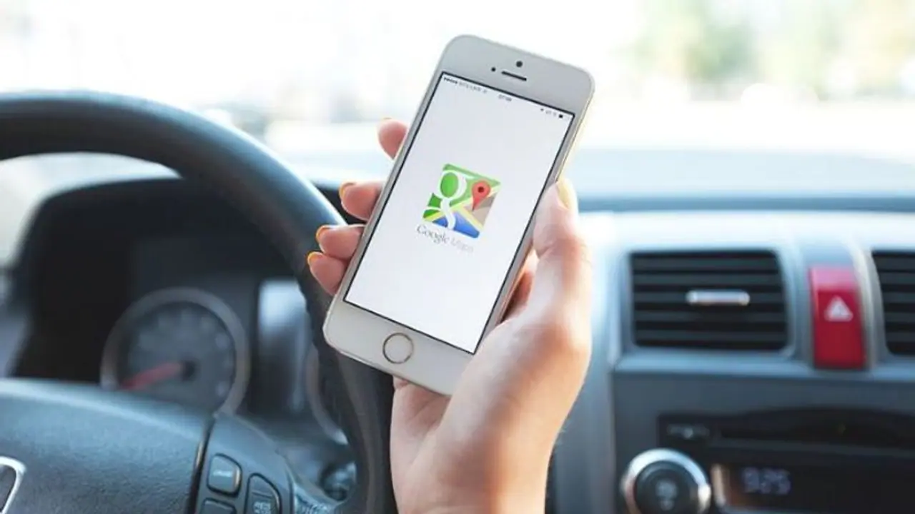
Maps is used widely across Android and iOS devices for navigation but tunnels have been challenge for the platform to work inside. The popular app now has a new Bluetooth feature that can restore location tracking even inside tunnels.
How often has it been difficult for you to get your GPS to function while you're in a tunnel? You can no longer get assistance in these regions even via Google Maps. The well-known software now has a new Bluetooth function that allows location monitoring to be restored even within tunnels, which is a godsend if you enjoy going on long walks through the bush.

What is Google doing here, then? The business uses Bluetooth beacons, which are currently enabled in Maps but are currently only available to Android users. These beacons have been used with Waze, a Google-owned app that is available in several places worldwide.
For Android users who are always on the go, this technology might be a lifesaver and more since it is being included to Maps for the first time. Although it took Google years to integrate the technology into Maps for consumers, we are happy that it is now available. Navigating to Maps' settings will reveal an option that is present but by default deactivated. You may turn it on as needed.
How to Activate Google Maps' Bluetooth Beacon:
- To access Settings, click the profile photo in Maps.
- Locate and click the Navigation settings by scrolling down.
- Scroll down the page to discover Bluetooth tunnel beacons under the driving choices.
- Press the toggle button to activate the function.
- Maps will request authorization before locating, connecting to, and locating the location of adjacent devices. When you provide the app access to these sensors, your phone will function as a beacon.
Google will probably deploy the functionality for iPhone users once it has finished rolling it out for Android users.
