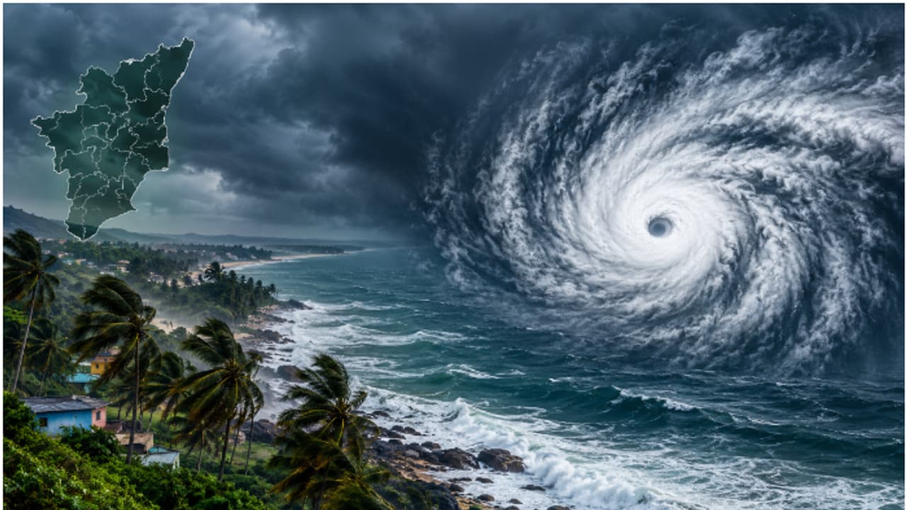
Tamil Nadu Weather LATEST Update: The Bay of Bengal may witness another low-pressure system on November 13, raising concerns after Cyclones Arnab and Murasu. However, meteorologists remain uncertain about its movement and possible impact
The Bay of Bengal is preparing for another spell of cyclonic activity as a fresh low-pressure area is likely to develop over its southeast region around November 13, according to the India Meteorological Department (IMD).
The weather system is expected to strengthen into a well-marked low-pressure area within 24 hours of its formation. Its development comes shortly after two successive severe cyclonic storms, Murasu and Arnab, affected the region.
The possibility of another system forming so soon has attracted the attention of meteorologists, particularly as the northeast monsoon enters one of its most active phases.
Related Articles

However, the formation of a low-pressure area does not automatically mean another cyclone is on the way. Its eventual intensity will depend on atmospheric and oceanic conditions over the coming days.
Experts Uncertain About System's Track and Possibility of Another Cyclone
The possible development of another weather system has left meteorologists closely monitoring the Bay of Bengal, especially after two cyclones formed in quick succession.
Mahesh Palawat, Vice President (Meteorology) at Skymet Weather, described the back-to-back formation of two cyclones as an unusual occurrence. He said the upcoming system could potentially strengthen into a depression, although it is too early to determine its future intensity.
Weather models are currently indicating different possible movement patterns. While some suggest that the system could move towards Andhra Pradesh, others indicate a possible shift towards Myanmar. There are also indications that it could recurve towards the northeast.
Although warmer-than-normal sea surface temperatures could support further intensification, the system is not currently expected to develop into a cyclone, according to Palawat.
Most weather models also do not indicate an immediate threat to north Tamil Nadu. Meteorologists expect a clearer picture of the system's movement and development over the next 48 hours.
If it eventually develops into a cyclone, it would become the third cyclone in the region's already eventful season.
Heavy Rain Alert for Southern Tamil Nadu; Chennai May See Showers on November 14
While the developing low-pressure system remains under observation, several parts of Tamil Nadu are expected to experience rainfall over the coming days.
The Regional Meteorological Centre (RMC) has forecast heavy rain at isolated places in Ramanathapuram, Thoothukudi and Tirunelveli on November 11. Thunderstorms, lightning and gusty winds reaching 40-50 kmph are also likely at one or two locations.
Moderate rainfall is expected across parts of the Cauvery delta and southern Tamil Nadu, including Thanjavur, Tiruvarur, Mayiladuthurai, Nagapattinam, Pudukkottai, Sivaganga, Madurai, Virudhunagar, Theni, Tenkasi and Kanyakumari.
Rainfall activity is likely to continue in parts of southern Tamil Nadu and the Cauvery delta on November 12 before easing on November 13.
However, the weather situation could change again from November 14, when rainfall is expected to return to coastal and northern districts, including Chennai, Tiruvallur and Chengalpattu.
The RMC has also forecast heavy rainfall in parts of the Cauvery delta on November 15, followed by showers in the Nilgiris and Coimbatore on November 16.
Meanwhile, authorities have directed mechanised and motorised traditional fishing boats that ventured into the sea from Chennai Fishing Harbour to return to shore by November 12. The instruction comes following the recent deaths of nine fishermen.