- Home
- India
- Kolkata Weather Update: Low Pressure Triggers Heavy Rainfall; Will It Cause Flood Before Durga Puja
Kolkata Weather Update: Low Pressure Triggers Heavy Rainfall; Will It Cause Flood Before Durga Puja
Kolkata Weather Update: Just as the monsoon was about to leave, Bengal's weather is taking a big turn. A new low-pressure system is forming over the North Bay of Bengal. Because of this, several districts in South Bengal are likely to get heavy rain
16
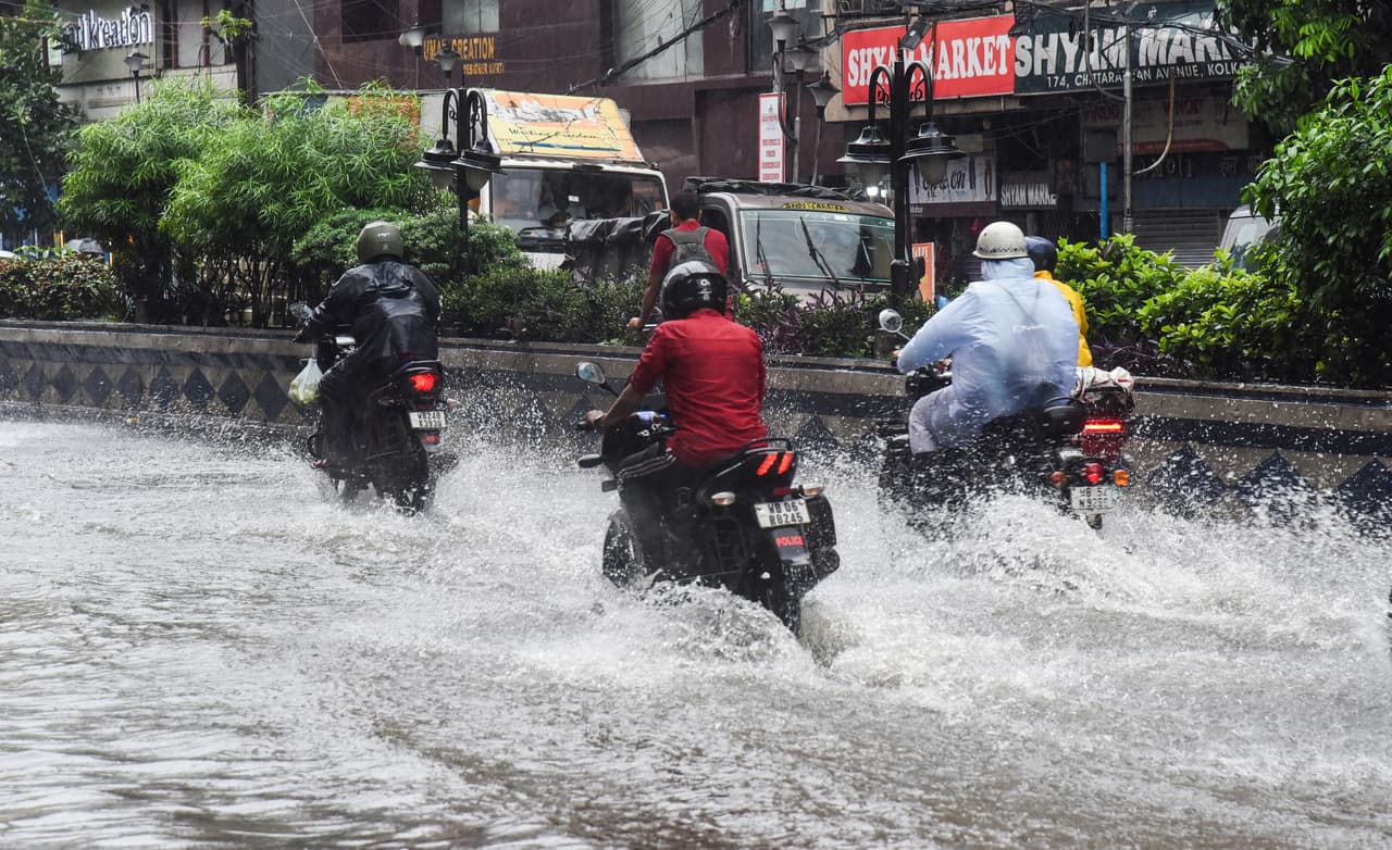
Image Credit : ANI
A waterlogged street in Kolkata during monsoon
The monsoon season is almost over, but the winds are picking up again. A new low-pressure system is expected to form over the North Bay of Bengal and the nearby Bangladesh coast on Thursday, which will likely increase rainfall across North and South Bengal.
Add Asianet Newsable as a Preferred Source
26

Image Credit : ANI
A woman with an umbrella walks on a rain-soaked street
The Alipur Weather Department explains that a cyclonic circulation is causing this low pressure. Also, a monsoon trough is passing through Jammu, Dehradun, Pantnagar, Basti, Chhapra, Purulia, and Digha, all the way to the northeast Bay of Bengal. Both these systems together are creating a high chance of heavy rain in South Bengal.
36
Image Credit : ANI
Vehicles moving through a waterlogged road in a city
From Friday to Sunday, all districts in South Bengal will likely get light to moderate rain. But, East Medinipur, West Medinipur, Jhargram, Purulia, and South 24 Parganas should brace for heavy showers.
46
Image Credit : ANI
A person holding an umbrella during a heavy downpour
The weather office has issued an orange alert for these five districts for the next three days. East Medinipur and South 24 Parganas could see gusty winds of 40 to 50 km/h along with thunderstorms. Other districts in South Bengal might also experience winds of 30 to 40 km/h.
56
Image Credit : ANI
A view of a tea garden in North Bengal under a cloudy sky
All districts in North Bengal are also on alert for light to moderate rain and thunderstorms in the coming days. Darjeeling, Jalpaiguri, Kalimpong, Cooch Behar, and Alipurduar might receive more rainfall compared to others. All districts could see gusty winds of 30 to 40 km/h.
66
Image Credit : Getty
A satellite image showing cloud cover over the Indian subcontinent
Weather experts say that rainfall is already reducing across most of India. Satellite images show that 80 to 90 percent of the country has less cloud cover, leading to clear skies. However, the monsoon might have one last active spell. Forecasts predict heavy rain between September 12 and 21 across central, south, east, and west India. After this, the monsoon will likely start withdrawing, beginning from northwest India.
Stay updated with the Breaking News Today and Latest News from across India and around the world. Get real-time updates, in-depth analysis, and comprehensive coverage of India News, World News, Indian Defence News, Kerala News, and Karnataka News. From politics to current affairs, follow every major story as it unfolds. Get real-time updates from IMD on major cities weather forecasts, including Rain alerts, Cyclone warnings, and temperature trends. Download the Asianet News Official App from the Android Play Store and iPhone App Store for accurate and timely news updates anytime, anywhere.
Latest Videos