
Under an avalanche of criticism from opposition parties, and a directive from the National Green Tribunal (NGT), the Andhra Pradesh government has started acting on making its under-construction capital Amaravati flood proof.
The Andhra Pradesh Capital Region Development Authority (APCRDA) has appointed an expert committee to study the flood threat the new capital would face in future and to guide the state to safety measures.
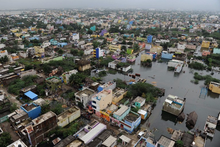
Many studies identified Amaravati as a potentially flood prone area. The massive development of the city is bound to block the natural flow of water in canals, drains and streams of the area increasing hugely the possibility of floods during monsoon.
The state government had overlooked issues of flooding while choosing Amaravati as the new capital. Instead, it focussed on developing it as a capital city of parks and skyscrapers.
The Master Plan prepared by a Singapore company also failed to lay emphasis flood-related risks.
Many studies identified Amaravati as a potentially flood-prone area. The massive development of the city is bound to block the natural flow of water in canals, drains and streams of the area increasing hugely the possibility of floods during monsoon.
On April 4, following heated arguments in the NGT, on a petition filed by environmentalist P Srimannarayana, APCRDA admitted that the height of the capital city required to be raised by two meters to prevent the capital from the flooding from the waters of the Kondaveeti Vagu, a large stream, and Krishna river, in which the Vagu merges.
Raising the height of entire capital city by two metres is a gigantic task, according to experts.
Last fortnight, Congress Rajya Sabha member KVP Ramanchandra Rao complained to Prime Minister Modi about an imminent threat of floods to the new capital.
Noted civic activist and former bureaucrat EAS Sarma agrees Amaravati is located smack in the middle of a flood-prone zone.
The issue came to the fore when Chennai was devastated by the floods last year in large measure due to the obstructions caused to the natural flow of water in the proposed city's drains and streams.
"The master plan failed to analyse the historical data on the intensity of the flood and provide the risk management measures including the need to raise the level of building foundations and feasibility consistent with the financial capability of APCRDA," Sarma told Asianet Newsable.
"If this aspect were to be considered, it would have woken up the authorities to the harsh reality that the site of chosen for new capital is clearly infeasible," Sarma said.
Against this backdrop, the state government on Saturday set up a high-level technical panel to guide the CRDA in the management of flood from Kondaveeti Vagu, which originates from the Kondaveedu Hill Range and passes through Achampeta, Tadikonda, Amaravati and Mangalagiri mandals before merging with Krishna River, upstream Prakasam Barrage, in the new capital region.
The ferocious Vagu flows across the capital city and causes inundation over about 13,500 acres of land every year during monsoon season in three to four spells.
"Nearly 3 tmc of floodwater is recorded in Kondaveeti Vagu every year. During severe floods, it records 12 tmc of water. The frequent inundation due to the overflowing of Kondaveeti Vagu during floods might pose a challenge to Amaravati in future," insiders in the government admitted.
Image Source: Satish Ansingkar, CC BY SA-4.0
