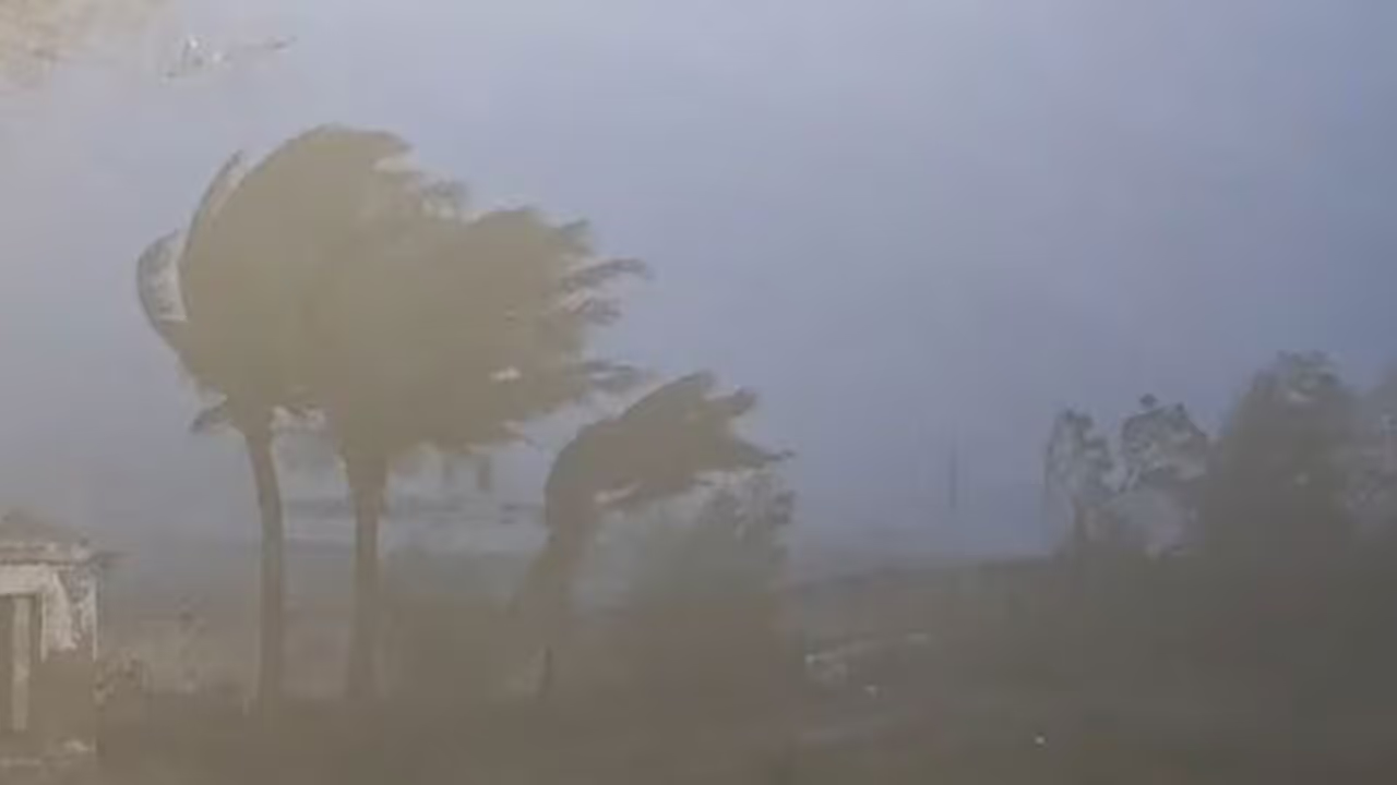
Cyclone Murasu has triggered heavy rainfall in Vijayawada, causing severe waterlogging. The storm is currently making landfall along the Andhra Pradesh coast, with the IMD warning of gale winds and potential storm surges in low-lying regions.
Cyclone Murasu Brings Heavy Rains to Vijayawada
November 3 (ANI): Heavy rains lashed several parts of Vijayawada under the influence of Cyclone Murasu, leaving roads waterlogged and disrupting movement in several areas. The downpour began late Monday night and continued into the early hours of Tuesday, drenching several parts of the city. Continuous rainfall led to waterlogging on major roads, including Bandar Road and Polyclinic Road, as well as several areas in One Town, causing inconvenience to commuters.
Landfall Process and Weather Outlook
IMD Forecast for Coastal Andhra Pradesh
Meanwhile, the landfall process of Severe Cyclonic Storm Murasu is continuing along the south Andhra Pradesh coast, with the India Meteorological Department (IMD) estimating that the process will continue for another two hours. In its latest update, the IMD said a major part of the cyclone's wall cloud had entered land, and its eye was entering the coast. The landfall point is between Nellore and Narsapur, close to Ongole.
The weather department estimated gale winds of 100-110 kmph, gusting to 120 kmph, along and off the coast during landfall. Similar wind speeds are likely to prevail until morning. The IMD has also forecast a storm surge of around 1.0-1.5 metres above the astronomical tide, which is likely to inundate low-lying areas of south coastal Andhra Pradesh until the morning of November 3. The maximum peak surge is expected over Bapatla, as well as the Krishna and Prakasam districts, before gradually decreasing, it said. Heavy spells of rainfall are likely along the south coast of Andhra Pradesh during the next 12 hours, according to the IMD. (ANI)
(Except for the headline, this story has not been edited by Asianetnews Editorial staff and is published from a syndicated feed.)