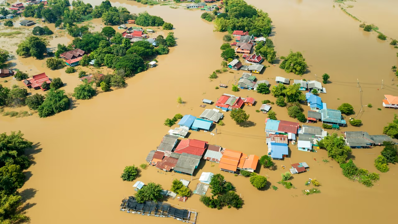
A new study reveals that saturated soil, not just storm intensity, is a major cause of catastrophic flooding from atmospheric rivers on the US West Coast. Flood peaks can be over four times higher when soils are already wet.
A new study has uncovered a crucial, but often overlooked, factor behind severe floods caused by atmospheric river storms on the US West Coast: the moisture already in the soil before the storm hits.

Published in the Journal of Hydrometeorology, the study analyzed more than 43,000 storms between 1980 and 2023 across 122 watersheds in California, Oregon, and Washington. It found that flood intensity does not depend solely on the size of the storm. Instead, whether or not the soil is already saturated plays a decisive role.
“When the ground is already wet, it can’t absorb more water,” said lead author Mariana Webb, a PhD researcher at the Desert Research Institute and University of Nevada, Reno. “This leads to much higher flood peaks, even from weaker storms.”
Flood peaks rise 2 to 4.5 times with wet soils
The research revealed that flood peaks were 2 to 4.5 times greater when storms arrived over already-saturated land. This explains why some moderate storms cause massive flooding while stronger ones don’t. The team also found that the relationship between soil wetness and flood intensity isn’t gradual, once a critical saturation point is crossed, flood levels can spike dramatically.
Arid zones most at risk
The study also identified where soil moisture matters most. Watersheds in more arid areas, like California and parts of southwestern Oregon, are especially sensitive to pre-storm soil conditions. These regions tend to have shallower, clay-rich soils with low water storage capacity. Because rainfall is less frequent and evaporation is higher in these areas, soil moisture fluctuates more, increasing the risk of floods from sudden saturation.
In contrast, wetter regions like Washington and the interior mountain ranges, where soil tends to be deeper or insulated by snowpack, show less variation in flood risk due to soil moisture. For these areas, additional soil data may not drastically improve flood predictions.
Real-time soil monitoring can improve flood forecasts
The study emphasizes the need for better soil moisture monitoring. While current networks like the USDA’s SNOTEL system collect this data, coverage is sparse and may not fully capture conditions across large or varied watersheds.
Webb and co-author Christine Albano, an ecohydrologist at DRI, suggest that expanding real-time monitoring in high-risk watersheds could significantly improve early flood warning systems, especially as climate change increases the frequency and strength of atmospheric rivers.
“Advances in weather forecasting already allow us to track incoming atmospheric rivers days in advance,” Albano said. “Now, if we pair that with soil moisture data and understand when the land is reaching a saturation threshold, we can deliver more precise and earlier flood warnings.”
Bridging atmosphere and land
This research highlights the importance of integrating atmospheric science with land-based hydrology. “Often, meteorologists stop at rainfall, and hydrologists begin once water hits the ground,” Webb said. “But this study shows the power of connecting both worlds for better flood prediction.”
As atmospheric rivers become more intense due to climate change, understanding the complex interaction between sky and soil may be the key to reducing their worst impacts.


