On Thursday (June 8), the IMD had extended range forecast that showed rains picking up during last week of June and rainfall over interior parts of the country during the week of June 30 to July 6.
The India Meteorological Department (IMD) has warned that cyclone Biparjoy is likely to cross Saurashtra, Kutch and adjoining Pakistan coasts between Mandvi (Gujarat) and Karachi (Pakistan) around June 15 noon as very severe cyclone with wind speed reaching 125-135 kmph gusting to 150 kmph.

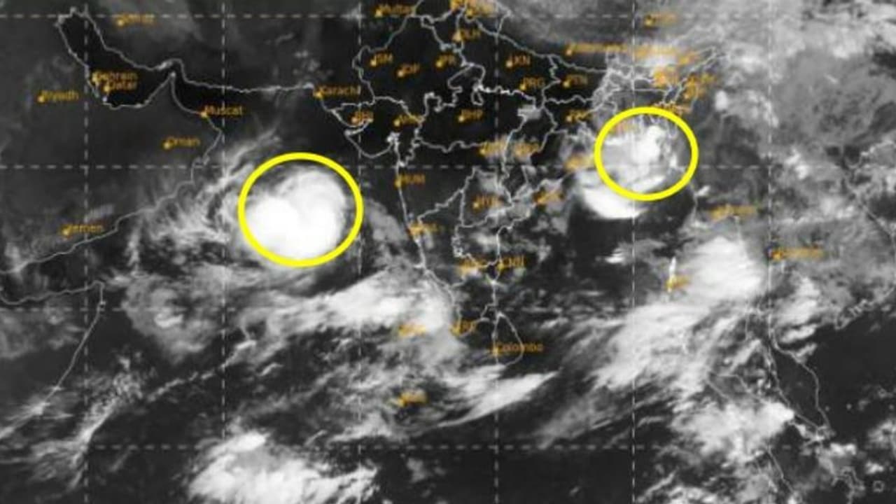
Very severe cyclonic storm intensified into an Extremely Very Severe Cyclonic Storm with a wind speed of 165 to 175 kmph gusting to 195 kmph and lay about 580 km west-southwest of Mumbai, 480 km south-southwest of Porbandar, 530 km south-southwest of Dwarka, 610 km south-southwest of Naliya and 780 km south of Karachi.
Under fire Brij Bhushan announces bid to contest 2024 Lok Sabha elections; reveals constituency
Speaking to a news agency, Vineet Kumar Singh, researcher from Typhoon Research Centre, Jeju National University said, "This cyclone has again gone rapid intensification (2nd in its lifetime) and intensified by 75 kmph to reach peak intensity of 195 kmph. Biparjoy is also the strongest cyclone in Arabian Sea (including all months) after cyclone Tauktae."
"Also, this is only the 2nd time in north Indian ocean history, that both the Arabian sea and Bay of Bengal had a category 3 or higher intensity cyclone in the same pre-monsoon season. Only such incidence was in 2019," he added.
It is reportedly said that Biparjoy's movements have raised concerns about weak monsoon conditions till at least mid-June over interior parts of the country. On Thursday (June 8), the IMD had extended range forecast that showed rains picking up during last week of June and rainfall over interior parts of the country during the week of June 30 to July 6.
Noida Model Death: 24-year-old killed after light truss collapses during fashion show
As per IMD, cyclone Biparjoy has intensified rapidly from deep depression (55.65 kmph) to very severe cyclone (121 KMPH) in just 24 hours. That is an increase in wind speed of 65 kmph in 24 hours, which is rapid intensification.
