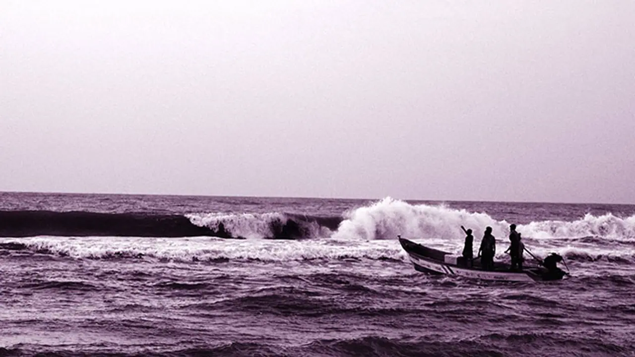
The inventory was prepared by a team consisting of 22 scientists and 85 other staffThe geotags is also crucial in facilitating national securityThe database includes details of modern harbours and traditional landing centres
Central Marine Fisheries Research Institute (CMFRI) has developed a GIS (geographic information system) based database to ensure the safety of fishermen at sea. The database contains details of all fish landing centres along Indian coasts, types of fishing activity, the extent of operations during each season and seasonality.

The GIS-based database will ensure not only the safety of fishers but also the security of the country.
The database includes details of modern harbours and traditional landing centres. The particulars of the operational area and landing centres would be helpful to identify the regions where fishing activities are taking place and protect the life of fishers. "The database can be used for an efficient marine spatial planning of different activities taking place in the sea. This will also help protect the livelihood concerns and security of fisherfolk along the coasts of India," principal scientist at CMFRI Mangalore Research Centre said.
The inventory was prepared by a team consisting of 22 scientists and 85 other staff. The team collected information on 1,278 landing centres spanning across nine states. The geotags of marine fish landing centres is also crucial in facilitating national security. It will help the Coast Guard, the Navy and other security agencies in disaster management as well.
