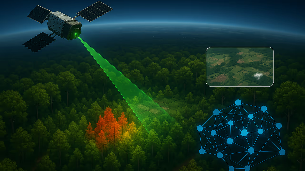
Using space lasers and AI, scientists can now measure forest carbon with greater speed and precision—transforming global climate monitoring and forest management.
Scientists have unlocked a revolutionary method to map forest carbon using artificial intelligence, and space technology —transforming what once took months into a matter of minutes. Satellite-based laser data, once used to uncover ancient ruins beneath dense canopies, is now being repurposed to wage war against climate change.

At the heart of this breakthrough is a team of researchers led by Hamdi Zurqani, assistant professor of geospatial science at the University of Arkansas at Monticello. Their latest study, published in Ecological Informatics, fuses satellite LiDAR imagery from NASA and the European Space Agency (ESA) with cutting-edge AI algorithms to create high-precision maps of forest biomass—a key metric in understanding Earth’s carbon dynamics.
“Forests are often called the lungs of our planet, and for good reason,” Zurqani emphasized. “They store roughly 80 percent of the world's terrestrial carbon and play a critical role in regulating Earth's climate.”
Until now, measuring forest biomass—a vital component for tracking how much carbon is stored or released—relied heavily on traditional ground-based surveys, which are labor-intensive, slow, and spatially limited. Zurqani’s novel method supercharges this process using publicly available satellite data and the immense processing power of Google Earth Engine.
At the core of this system lies NASA’s Global Ecosystem Dynamics Investigation LiDAR (GEDI), mounted on the International Space Station. It projects laser pulses to render exquisite 3D models of forest canopies, capturing height, structure, and elevation. Complementing this is imagery from ESA’s Copernicus Sentinel-1 and Sentinel-2 satellites, which offer optical views of Earth’s surface.
Zurqani’s team ran four AI algorithms to crunch the data: Gradient Tree Boosting, Random Forest, CART (Classification and Regression Trees), and Support Vector Machine. The clear frontrunner was Gradient Tree Boosting, delivering the highest precision and lowest error rates, while the Support Vector Machine fell short in performance. Integrating multiple data layers—from vegetation indices to topographic features—proved essential for pinpoint accuracy.
The implications are immense.
Accurate biomass mapping enables more reliable carbon accounting—vital for nations and policymakers aiming to combat deforestation, set emissions targets, or implement carbon credit schemes. “As climate change intensifies, technology like this will be indispensable in safeguarding our forests and the planet,” Zurqani asserted.


