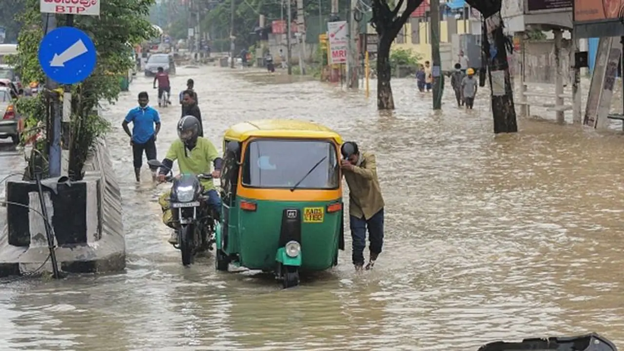
Driven by numbers from IISc and other sources, researchers observed officials in Bengaluru will need to construct approximately 658 kms of primary and secondary stormwater drains, in addition to rejuvenating the existing ones.
Bengaluru has hit the headlines recently over multiple incidents of flooding, and even as Karnataka's capital city reels under the pressure of managing the monsoon season, property consultant Knight Frank has released a study based on existing data to understand the gaps in the city's stormwater drain infrastructure.

In a report titled, Bengaluru Urban Flood, Knight Frank noted that one key solution is a drainage masterplan that could take up to a year and a half to formulate. Driven by numbers from IISc and other sources, researchers observed officials in Bengaluru will need to construct approximately 658 kms of primary and secondary stormwater drains, in addition to rejuvenating the existing ones. Currently, the city has 842 kms of primary and secondary drain length, and the deficit was calculated based on certain parameters, including Total Road Length, etc.
As per Knight Frank, the estimated capital expenditure required to build additional stormwater drains stands at Rs 2,800 crore. Close to 80 per cent of the amount would be for building additional requirements and the rest is needed to revive the existing infrastructure.
Shantanu Mazumder, executive director at Knight Frank, noted that Bengaluru has to observe and study how other cities in India and abroad have chalked out their stormwater drain models.
According to the CAG 2021 report, the stormwater drains in the Koramangala valley were 113.2 km long in the 1900s but the study noted that they were only 62.8 km long in 2016–17. The lengths of the stormwater drains in the Vrishabhavathi valley also decreased throughout the aforementioned years, from 226.3 km to 111.7 km.
The study's principal investigator, V Shilpashree, detailed how the SWD in Bengaluru operates by saying that primary and secondary drains that are connected help move accumulated excess water (from rainfall) from one lake to another. The interconnectivity of the lakes has been harmed by extensive concrete building, shortening the length of the drainages.
Mazumder further mentioned that the connecting channels, known as naalas, are divided into primary, secondary, and tertiary categories.
"Largely the primary naala exists. The problem is with secondary and tertiary which are encroached, re-aligned or vanished over a period of time. Tertiary and secondary naala are where water flows once in 15- 30 years. So if there was not part of the village map, the development was allowed and it vanished. That's how the reduction has taken place. The primary naala continues to exist. There is tampering that has happened there too, but it has not vanished," he said.
In addition to being developed, he clarified that the shorter stormwater drains do not constitute an invasion.
According to the assessment, the city's population would increase to 18 million by 2031, necessitating an expansion of the current stormwater drainage infrastructure.
Mazumder stated that the flooding problem was becoming a concern even for flat buyers, harming Bengaluru's reputation as a brand. Whether a property is in a low-lying area is something they consider when buying it. According to him, the feasibility study includes information on whether the property is in a catchment region even for real estate buyers.
The team advises the government to establish a thorough storm water drainage plan, a master plan like other cities, according to Rajeev Vijay, Executive Director, Government and Infrastructure Advisory at Knight Frank India. They must locate the current situation on the ground, geotag problems like encroachments, and build models.
