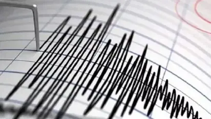
7.0 magnitude earthquake hits Indonesia, no tsunami warning issued

Synopsis
The strong quake struck at 4:55 pm local time (0955 GMT), the UGSS said, with Indonesia's geological agency ruling out a tsunami after the epicentre was detected to be at a depth of 594 kilometres (370 miles).
A strong earthquake measuring 7.0 on the Richter Scale jolted Indonesia on Friday. The quake occurred in the sea north of the Indonesian island of Java, according to the US Geological Survey (USGS) on Friday.
The powerful quake occurred around 4:55 p.m. local time (0955 GMT), according to the UGSS, with Indonesia's geological agency ruling out a tsunami after the epicentre was identified at a depth of 594 kilometres (370 miles). Indonesia’s Meteorology, Climatology and Geophysical Agency said there was no danger of a tsunami but warned of possible aftershocks.
Social media videos showed panicked locals and visitors in the neighbouring regions of Central Java, Yogyakarta, and Bali as houses and structures trembled for several seconds. Evacuations were ordered in certain areas, driving crowds onto the streets.
Because of its location on the Pacific Basin's arc of volcanoes and fault lines known as the "Ring of Fire," the country of more than 270 million people is often rocked by earthquakes, volcanic eruptions, and tsunamis.
Check the Breaking News Today and Latest News from across India and around the world. Stay updated with the latest World News and global developments from politics to economy and current affairs. Get in-depth coverage of China News, Europe News, Pakistan News, and South Asia News, along with top headlines from the UK and US. Follow expert analysis, international trends, and breaking updates from around the globe. Download the Asianet News Official App from the Android Play Store and iPhone App Store for accurate and timely news updates anytime, anywhere.